Back to Insights
Accurate Site Data: Choosing the Right Survey Method for Your Project
TTravis Hutton
January 20, 2026
8 min read
Two Methods, Different Applications
Clients ask for "site surveys" without knowing what they need. The difference comes down to: what you can see through.
When to Use Photographic Mapping
Photographic methods are vibrant, detailed, perfect for open sites, progress documentation, volumetric calculations on cleared land. Cost-effective and photorealistic.
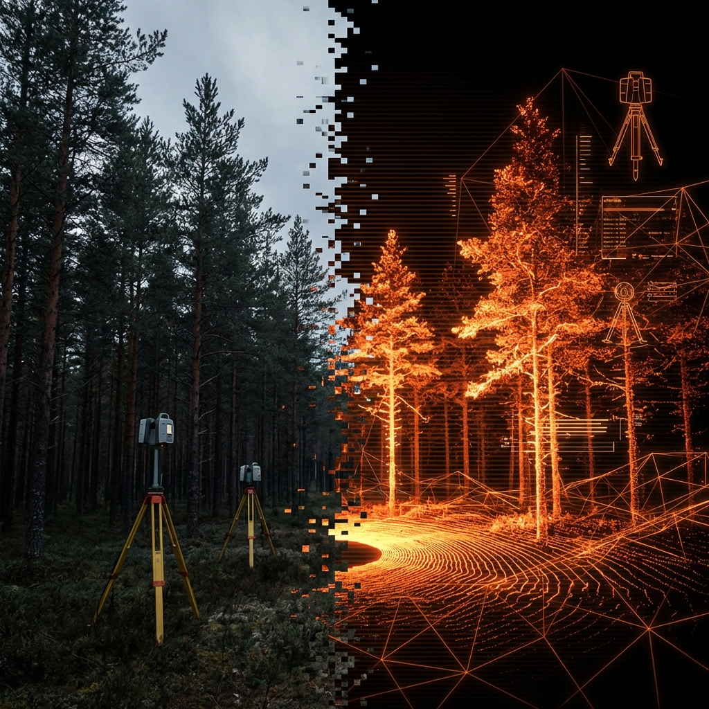
When to Use Laser Scanning
Laser-based methods are the only choice for forestry or vegetated terrain. Technology penetrates tree canopies to measure ground below. Best for forested areas, road planning through vegetation.
The Bottom Line
Choosing the right method saves money and gives better data. Open sites? Photographic mapping. Forested terrain? Laser scanning. Not sure? We'll assess and recommend.